


Product
RTK GO
Survey software
The RUIDE RTK GO 2025 Suite was specially designed to give land surveyors & construction surveyors and engineers an eficient & easy-to-use solutions to meet their multiple surveying, construction, engineering needs.
RTK GO 2025 Suite is made of individual modules: GNSS, manual total station, robotic total station, echo sounder, Slam Lidar, etc. Your can work them separately or jointly, to maximize your productivity.
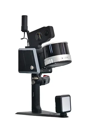
RobotSLAM Standard
Professional SLAM
16 / 32 channels
120m measuring range
320,000 / 640,000 pints/sec.
2-lens panoramic camera
Bulit-in GNSS module
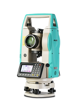
Disteo23
Advance Theodolite
2" angle accuracy
300m distance range (with prism)
3mm+2ppm distance accuracy
Stake out program
Alphanumeric keyboard
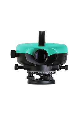
RL-03
High-accuracy Digital Level
Height Accuracy: 0.3mm
Distance Accuracy: 10mm
Distance Range: 110m
3" color and touch screen
USB drive, RS-232, Bluetooth
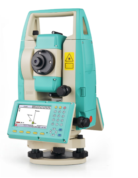
RIS
Graphical Total Station
UltraPlumb
1500m non-prism range
1" / 2" angle accuracy
Color & touch screen
Guide Light / Camera
Lightning Meas Button
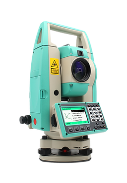
RCS
Comprehensive Total Station
UltraPlumb
1500m non-prism range
2"angle accuracy
Color & touch screen
Guide Light
Lightning Meas Button



