GNSS Module
Field Data Collection & Mapping: The Most Advanced is Here
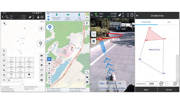
• Measure & Draw: to draw the result map while completing point measurements.
• CAD Draw : drafting without a PC.
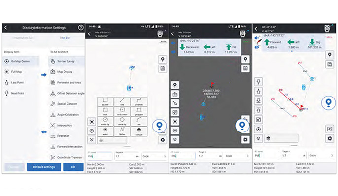
• Laser Measurement & Setout: measure remote targets intuitively & efficiently.
• Visual Positioning: measure lots of points by taking pictures or videos. Coordinates of all points in the photos can be acquired.
• Static & PPK Measurement : provides both static and PPK data collection capabilities.
• CAD Stake-Out: for complex shapes such as curves, circles, and polygons, the traditional stake-out process is complicated.
• Live-View Stake-Out: Users utilize the real-time imagery captured by the camera at the bottom of the receiver and the AR guide lines displayed by the software, to locate the target points.
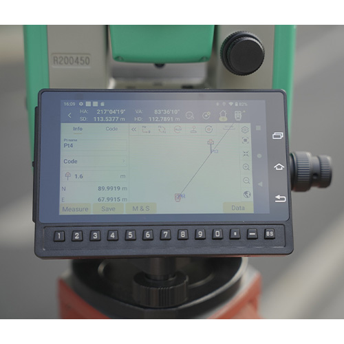
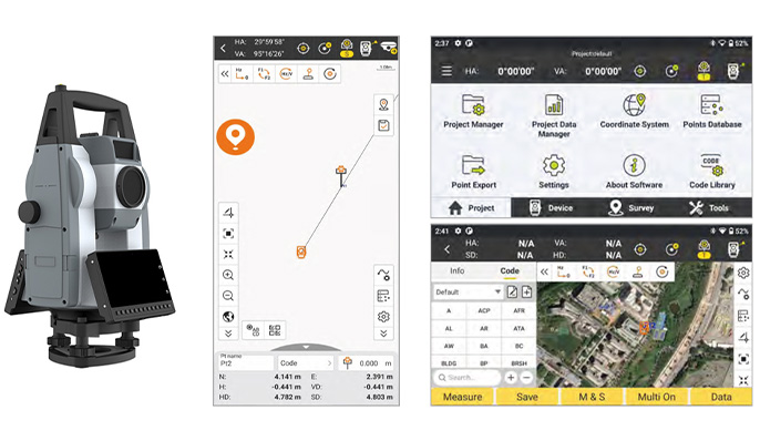
Manual Total Station
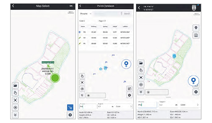
• CAD Stakeout: allows you to import CAD basemap and stakeout it, without inputting point coordinates one by one.
• Measure & Draw: User is allowed to draw line, polygon, circle...up to 11 kinds of graphic, while measuring target points. No need to manually draw draft map anymore.
• Point Survey & Stakeout: With graphic display, now it is easy to you to observe the relation between occupied point and target points.
• Line Stakeout: User is allowed to manually choose points from library, line will be formed by program automatically.
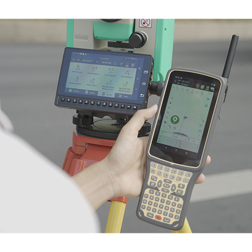
Android & Robotic Total Station
RUIDE User can work RTK GO 2025 with their Robotic Total Station and Android Total Station. A few update have been done: CAD function is available in all of measurement and stakeout program; Point picking on CAD drawing is more precise; A new user interface is available; User is able to choose portrait display or landscape display according to their work need.
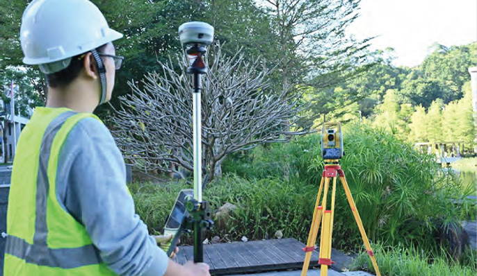
Combination of GNSS & Total Station
More Inteligence, More Creativity
RTK GO 2025 now enable surveors to work GNSS receiver and Robotic Total station jointly.
When a GNSS receiver being installed onto prism pole, Robotic total station can track prism with higher efficiency by using GNSS data,
it greatly helps when you are working in complicated terrain and prism sometimes being blocked.
Compatiblewith Multiple Devices
The App Now works with GNSS, Total Station, Echo Sounder, GIS Tablet,
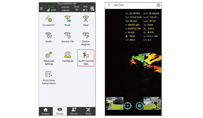
in future it will work with SLAM Scanner, Terrestrial Lidar Scanner.
Innovations for Better User Experience
• RTK Data Backup
• QR Code Share
• Multiple Basemap Support
• Basemap
• Adjustment
• Network Mount Point Sorting
• NMEA Output Setting