

Product
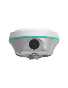
RENO3
Pocket Sized RTK
RENO3 is a Palm-sized RTK with Dual Camera Stakeout.Creating a New Vision to Your Success.
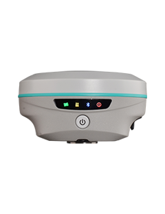
ROVA3
2025 New Model
The Fusion of Simplicity & Versatility
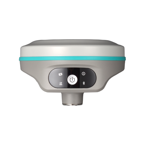
RENO 2s
Dual Camera Visual Stakeout
GNSS receiver integrated with Dual Camera
(Videoshooting Measurement & 3D Modelling Function are optional)
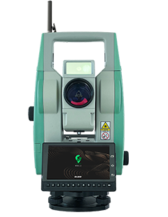
RTS1
Robotic Total Station
One-man Survey & Layout, 1"Angle Accuracy, 1200m APR, 300m Prism Search, RTK-GO APP, Automated Monitoring (optional)
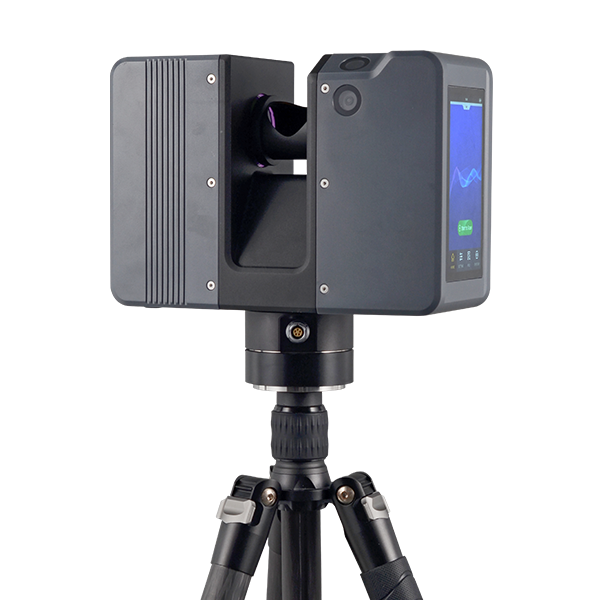
SPL-1500/SPL-620/SPL-370/SPL-180
Pulsed Precise Terrestrial Laser Scanners
Pulsed Precise Scan technology Scanning Range: 0.6 ~ 1500m Scanning Accuracy: 3mm @ 100m Scan Rate:2,000,000 pts/sec
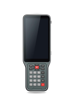
H10
Rugged Controller
that is more capable to process photogrammetry data


