

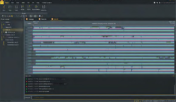
Data Processing & Reporting
When surveyors need to do post-processing of GNSS data, our software always can provide state-of-the-art technology
to help you to produce optimal results. User just need to import field data, the software will automatically process GNSS baselines.
Once results come out, the software can generate reports.
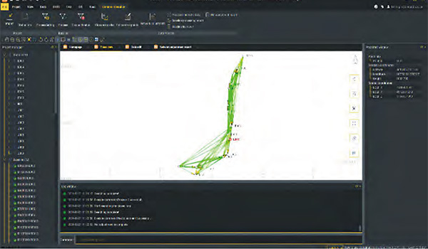
RINEX Import and Export
This feature enables users to import the third party GNSS receiver data into our software and post-process it,
by using the industry standard RINEX format.
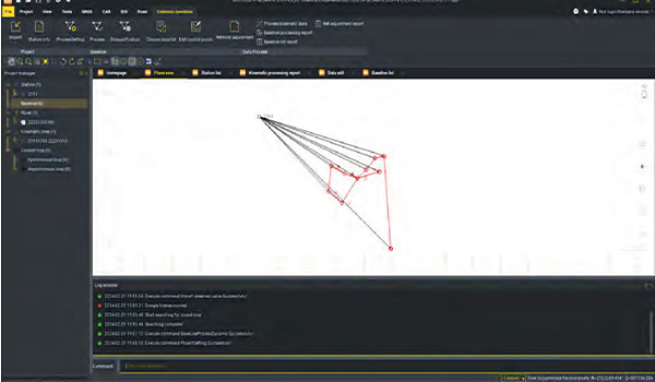
High Accuracy Guaranteed
RTK check, the unique function in our software, can compare RTK and PPK results to automatically acquire
the most accurate coordinates for each target point.
It fills up the gap of poor corrections in RTK or hindered observations in PPK.
This improvement is to provide guarantee for your every survey.
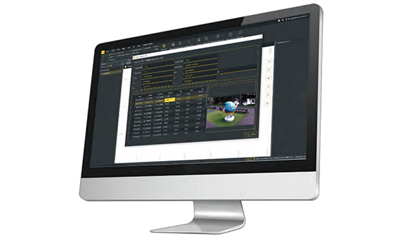
3D Modelling
User can import photogrammetry image data into the software, to achieve 3D modeling, visually presenting
geographic information data such as coordinates, areas, and volumes.
Model data can be transformed into different formats and applied with various coordinate parameters based on
actual needs, making it adaptable to a wider range of application scenarios.
No data.


