


Product
SLAM LiDAR
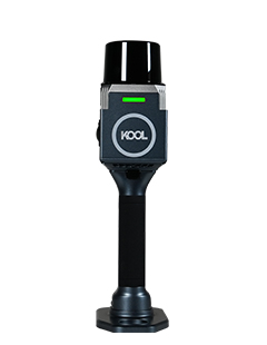
KOOL
KOOL
KOOL Handheld SLAM Scanner: 100m range with ultra-wide FOV capture, centimeter-level accuracy in a lightweight design, enabling one-stop photorealistic 3D digital reconstruction.
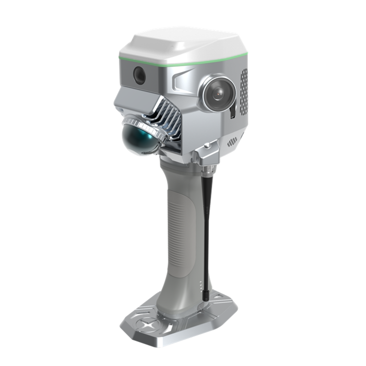
ME
SLAM RTK
GNSS RTK Hybrid Supreme model, serving as a SLAM-based RTK rover and an RTK-based.
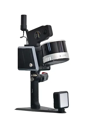
RobotSLAM Standard
Professional SLAM
16 / 32 channels
120m measuring range
320,000 / 640,000 pints/sec.
2-lens panoramic camera
Bulit-in GNSS module
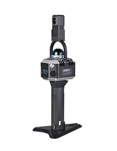
RobotSLAM Lite
Entry-level SLAM
Measurement Rate Reach 200,000pts/sec & Measuring Range Up to 70m & Relative Accuracy Best up to 1cm & Real-time Point Cloud and Trajectory



