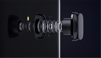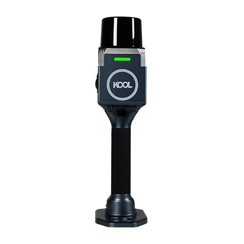
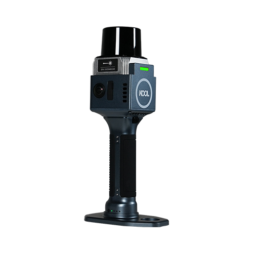

Vivid Colorization, Detail-rich Deliverables Equipped with dual 12MP cameras, KOOL captures high-quality image data with rich textures and natural colors. Advanced colorization algorithms accurately fuse image data with point cloud, delivering realistic colorized point clouds with fine details. |
|
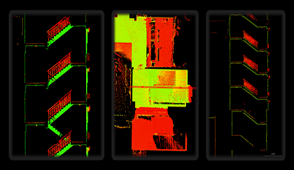
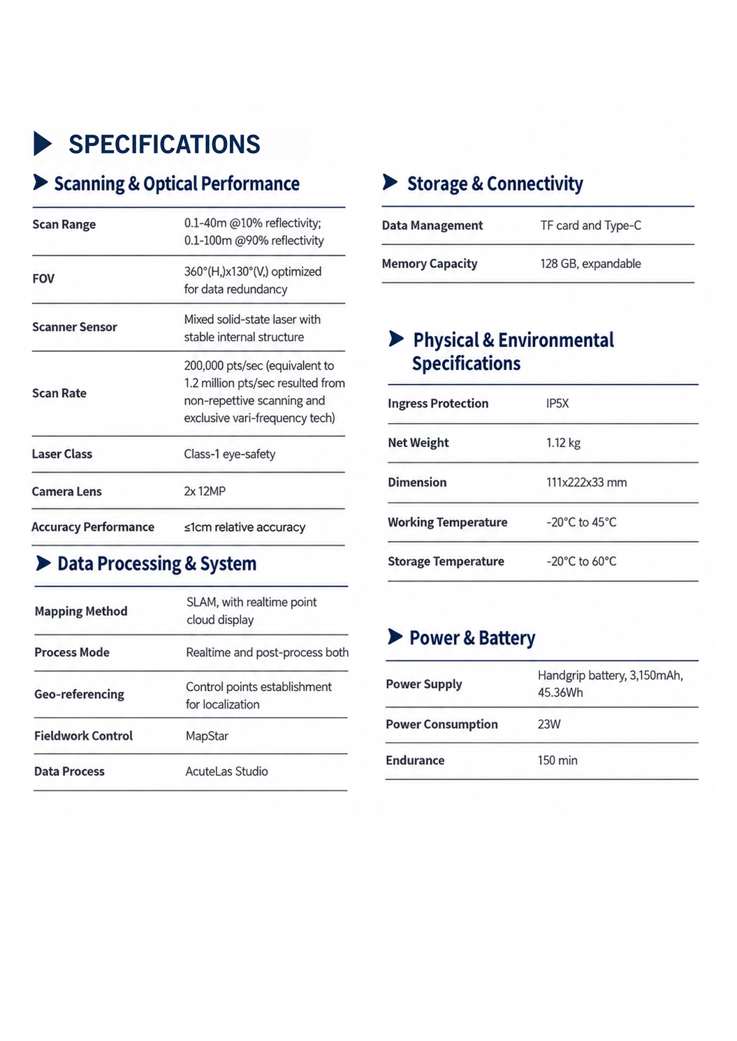
| INS SLAM Fusion for Reliable Mapping With a high-precision IMU with 0.5°/h bias instability built-in,the KOOL can accurately track motion in feature-poor environments such as corridors and multi-level staircases and ensure accurate and stable scanning result. |
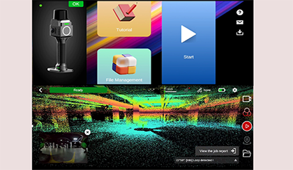
Field Work Control App: MAP STAR ·Users can switch between RGB, Intensity, and Elevation modes to verify scan quality and completeness directly in the field. ·Dynamic trajectory tracking with real-time survey-quality visualization ·Tutorial guide is available inside App. |
|
|
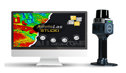
Pre-Processing Software: AcuteLas Studio The software optimizes point cloud quality through denoising, filtering, and RTK/GCP registration. It supports colorized point cloud, mesh, 3DGS, and CAD outputs, with built-in tools for measurement, volume calculation, etc. AcuteLas Studio can process data captured from different source: SLAM scanner, Terrestrial scanner, Mobile LiDAR Scanner. One click, full automation. |
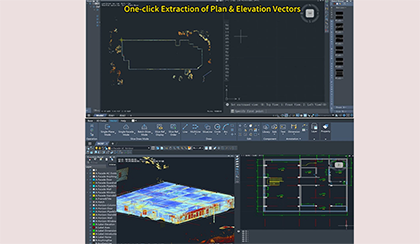
From Point Cloud to Drawing: CAD Builder CAD Builder is to streamline the drafting process and quickly create architectural drawings. ·Operate point cloud data directly, no pre‑conversion to RCP or MESH. ·Draw on slices directly, no repeated export to PNG/DXF. ·Auto‑detect rooms into editable vectors; one‑click plan & elevation vector extraction. ·One‑click alignment for plan, elevation and section views, with flexible slicing & dynamic adjustment. ·Full drafting toolkit, support direct drawing export to DWG and PDF. |
|
| Advanced Processing Plugin: Rebuild 3D
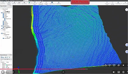
Rebuild 3D is designed to turn 3D laser scanner and SLAM point cloud data into actionable design deliverables. (This plugin is optional) ·Architectural 3D Mesh Generation ·One-Click RCP Export ·Cross-Section & Profile Extraction ·Orthophoto and X-ray Orthophoto Generation ·Mining and Topography Modules …… |