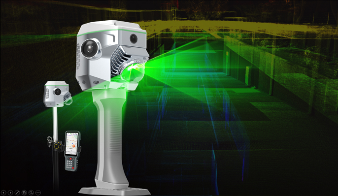
Many All High Uninterrrupted
Applications Scenarios Precision Operation
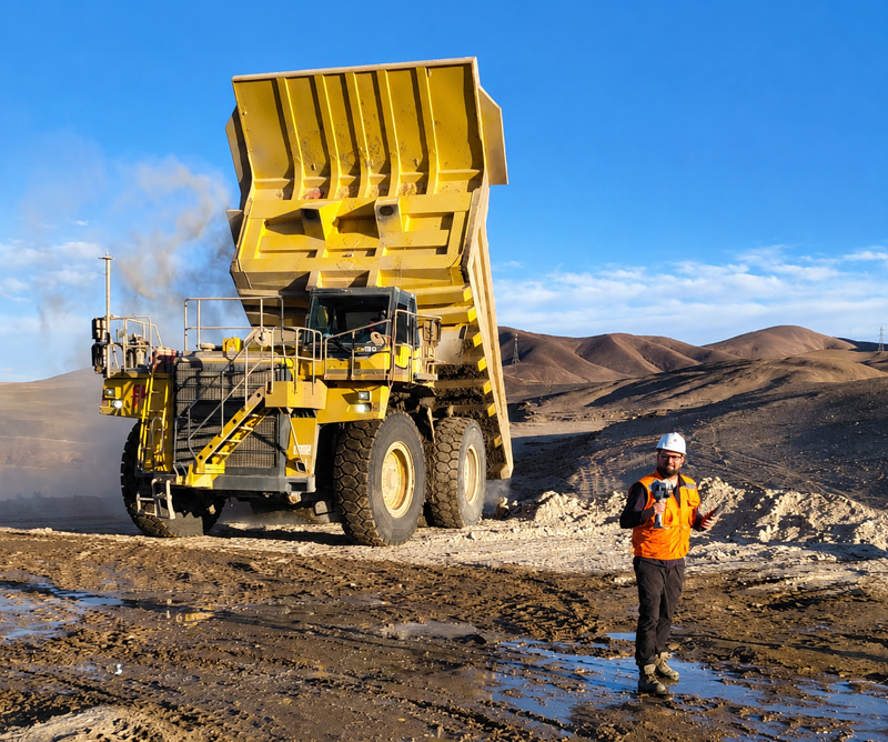
Surveying, BIM, forestry, Under High-rise, bridges, 5cm Absolute Inbuilt Battery Hot-
stockpile, underground in tunnel, garage, excavation, Accuracy Swappable BatteryEnsures
mapping,and more hazardous area 3-24 hours runtime
Integrates SLAM and RTK,
Improving Your Capability
When combing the power of GNSS RTK
Positioning and SLAM RUIDE Scanning,
surveyors can work in both outdoor and
indoor environments, performing both
contact and non-contact measurements,
to tackle tasks they couldn’t previously
accomplish.
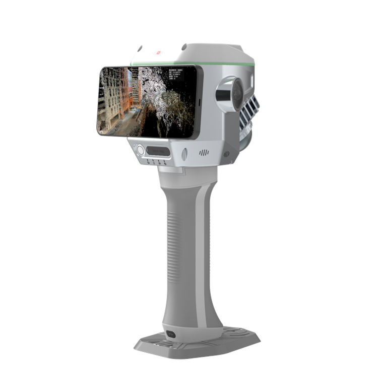
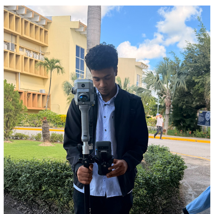
Top Class Hardware,
for Image Capture & Processing
Equipped with a professional graphic card by
Nvidia and dual 12 MP panoramic cameras by
SONY, ME is able to ealistically restore scenes.
The 8 MP front camera and 2 MP downward
camera help surveyor to preform photogrammetry
measurement and CAD-AR stakeout efficiently.
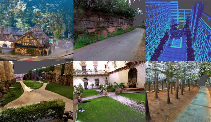
 Capture A Lot of Points,
Contactlessly and Easily
The Air. Meas. function combines laser
sensing technology and AI image matching
engine, enables users to collect multiple 3D
coordinates by capturing a photo once.
Measuring range can be as far as maximum
15 meters, while the accuracy remains 5 cm.
This data collection method is a ideal solution
for many complex environments for example
hard-to-reach areas and hazardous areas.
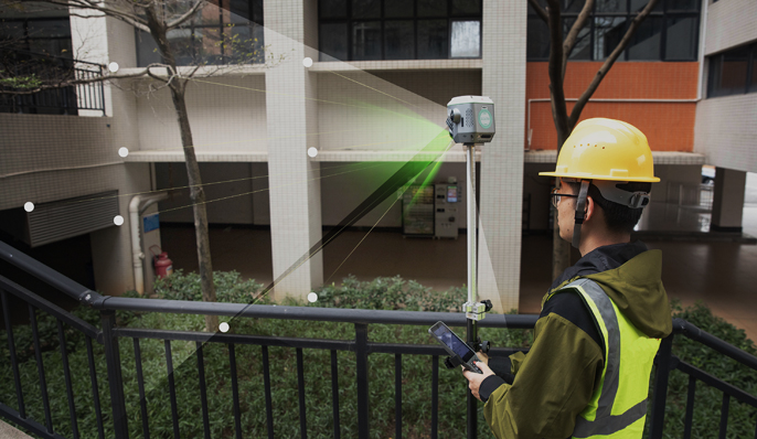
Magicalc,
Positioning Anywhere.
ME system is capable to maintain 5 cm accuracy
for a few minutes when GNSS satellite signals
are out-of-reach, the solution status will change
from "fixed" to "Mixed Solution".
This innovative function enables users to
seamlessly capture data in areas with limited
GNSS signals, such as under overpasses,
in tunnels, or in underground garages.
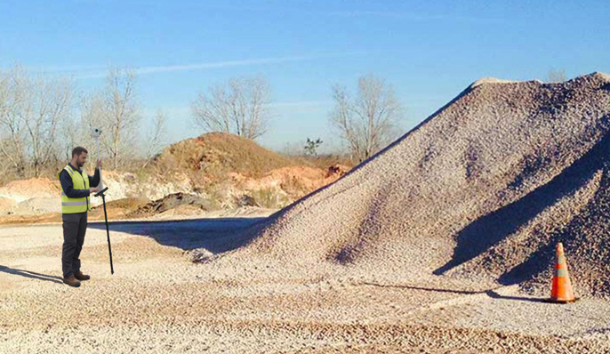
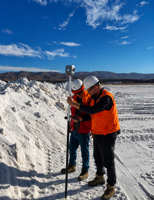
Accurate Earthwork
Volume Calculation
The ME system allows users to perform
earthwork calculations by capturing 3D
point clouds. The simple and streamlined
workflow is very pratical and efficient for
excavation, stockpile measurement,
mining, constructions.
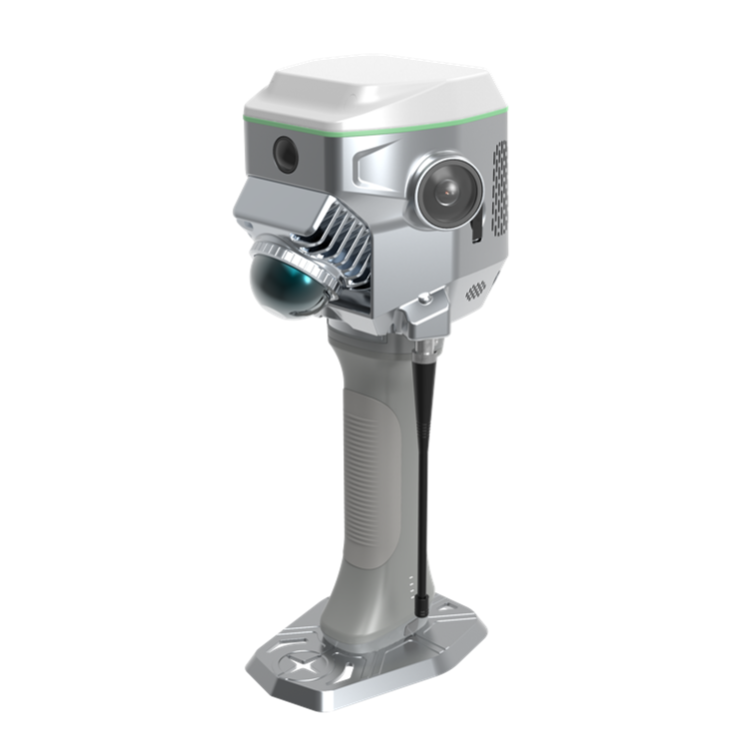
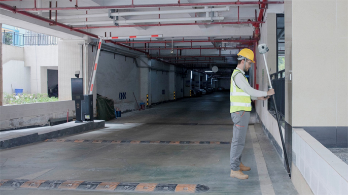
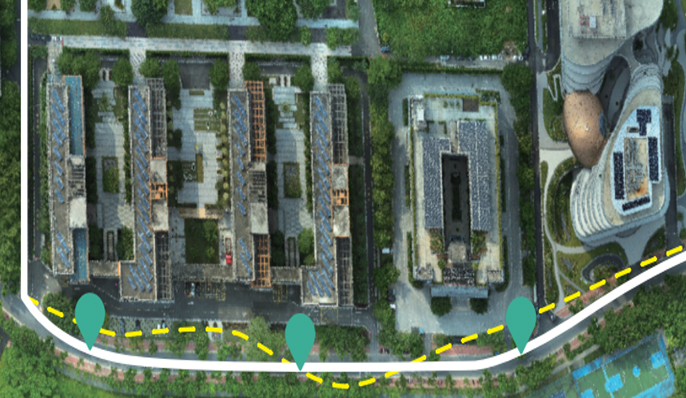 Real-time SLAM Maoppoing,
No Need of Loop Closure.
The ME features real-time SLAM, creating
georeferenced, true-color point clouds directly
on-site. This provides instant feedback on
collected data, enabling real-time adjustments
to ensure comprehensive coverage and reduce
the risk of rework.
RTK real-time calibration eliminates the need for l
oop closure, allowing users to freely plan acquisition
routes and significantly improve field efficiency. It
greatly saves the field working time in large, complex
scenarios.