

Product
H7
H7 All-in-one Tablet & Controller
ALL-IN-ONE Tablet & Controller, a professional collecting terminal designed for all surveying scenario.
AQUA M20 Pro
Unmaned Surface Vehicles
Built for Marine Unmanned

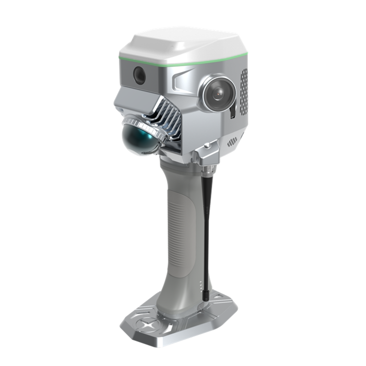
ME
SLAM RTK
GNSS RTK Hybrid Supreme model, serving as a SLAM-based RTK rover and an RTK-based.
AQUA M20 and M10
Unmaned Surface Vehicles
Built for Marine Unmanned
H9
Rugged Controller
Lightweight, with new QWERTY keypad, ideal for photogrammetry—your top partner in surveying tasks.
ME
SLAM RTK
GNSS RTK Hybrid Supreme model, serving as a SLAM-based RTK rover and an RTK-based.


