

Product
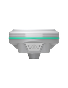
RAMA1
2025 New Model
Combining advantage of Laser & AR Stakeout
RAMA2
2025 Flagship Model
Combining advantage of Laser & Photogrammetry & 3D Modeling
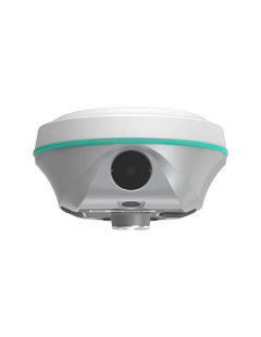
RENO 2
Dual Camera Visual Positioning & 3D Modelling
GNSS receiver integrated with Photogrammetry Technology, Dual Camera, 3D Modelling Function.
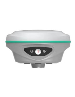
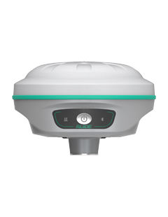
ROVA2
High Performance GNSS Receiver
2024 New Model, Simplify and Smooth Your Field Work
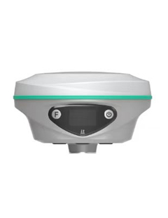
ROVA 1S
Live-view AR Stakeout by Camera Inbuilt
Integrated with camera in the bottom, for Live-view AR Stakeout.
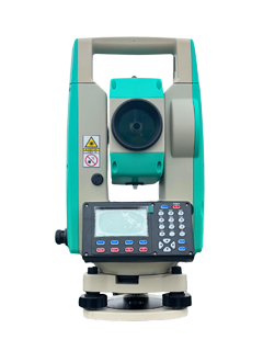
X4
Conventional Total Station
Sokkia-style menu program, seven Major Improvements, 1000m reflectorless


